Ontario Nature Blog
Receive email alerts about breaking conservation
and environmental news.
© Lora Denis
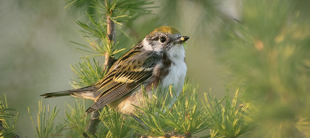
Blackburnian warbler © Mark Duchene
The Ontario Breeding Bird Atlas is a multi-year project that aims to map all of Ontario’s breeding birds. Over 5 years, hundreds of volunteers search for evidence of breeding birds within 10 x 10 kilometre squares. Our goal is to have all the squares in southern Ontario surveyed by 2025, and a strong sample of squares completed in northern Ontario.
Year 4 of the Atlas started in 2024, which means we’re nearing the end of the project. However, there are many areas that still need to be surveyed. This is where we need your help. Keep on reading to find out the top 10 places to atlas this spring to help us fill gaps and reach our goal!
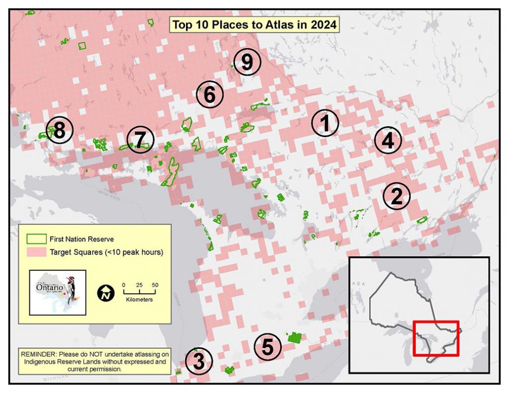
Algonquin Provincial Park is a camper and canoeist’s paradise. It is also host to hundreds of species of breeding birds. If you’re planning a canoe or camping trip in Algonquin this spring, why not do some atlassing while you’re there?
Situated between Peterborough and Kingston, Hastings and Lennox & Addington Counties are perfect places to go atlassing. They can be visited as a weekend trip from either Toronto or Ottawa, and offer plenty of options for birding and hiking.
Southwestern Ontario has some of the best birding spots in the province, including Sarnia and the surrounding area. Located just an hour drive from London, this area is a great place to go atlassing.
Visiting this area can be done as a day-trip from Ottawa. This region has plenty of beautiful hiking and birding spots for atlassers, as well as excellent white-water paddling.
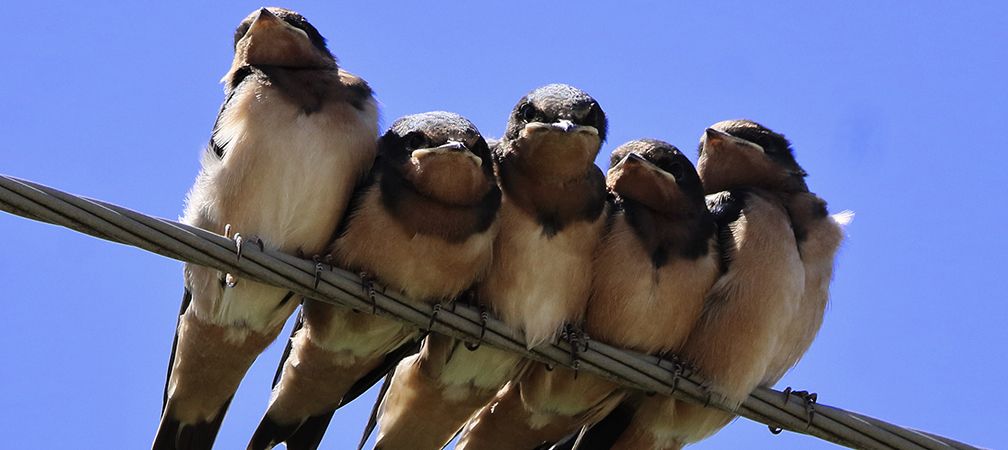
This often overlooked gem of southwestern Ontario is easily accessible from Toronto and can be visited as a day-trip. Oxford County hosts a wide variety of birds and habitats, which makes atlassing especially exciting.
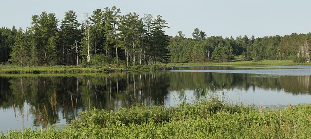
If you’re looking to head north to do some atlassing, then consider exploring Greater Sudbury. While the City of Sudbury itself has been atlassed fairly well, the surrounding areas could use some help!
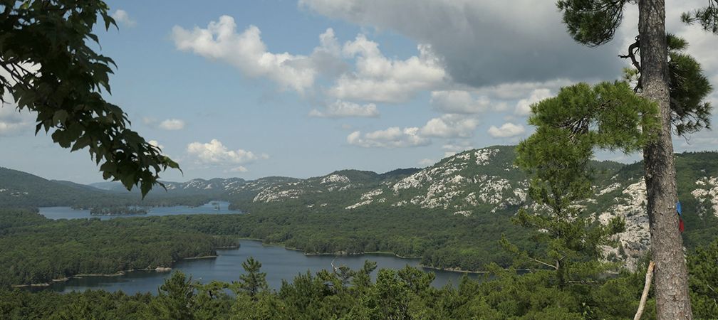
Explore the beautiful and rugged north shore of Lake Huron this spring. It’s a short drive from Sudbury and can be visited as a day trip. The extensive hiking trail system and shoreline offer plenty of opportunities for atlassing.
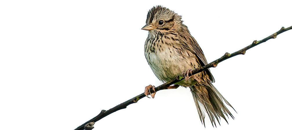
Situated between Lake Superior and Lake Huron, Sault Ste. Marie is at the northern extent of the 100% target coverage area for the Atlas. The area to the northeast of the city is a great place to start for some northern atlassing.
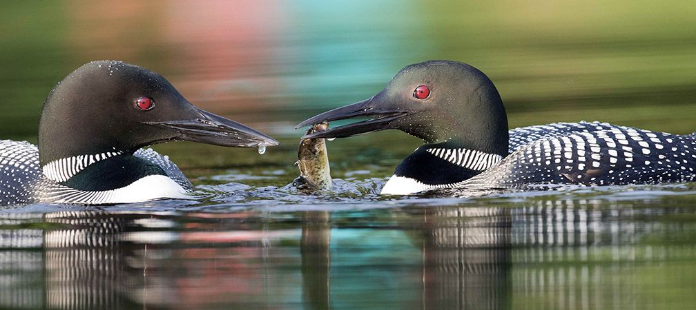
This region is a favourite for canoeists. Roads are sparse in this region, so atlassing by boat is the best approach. Consider doing some atlassing on your next trip!
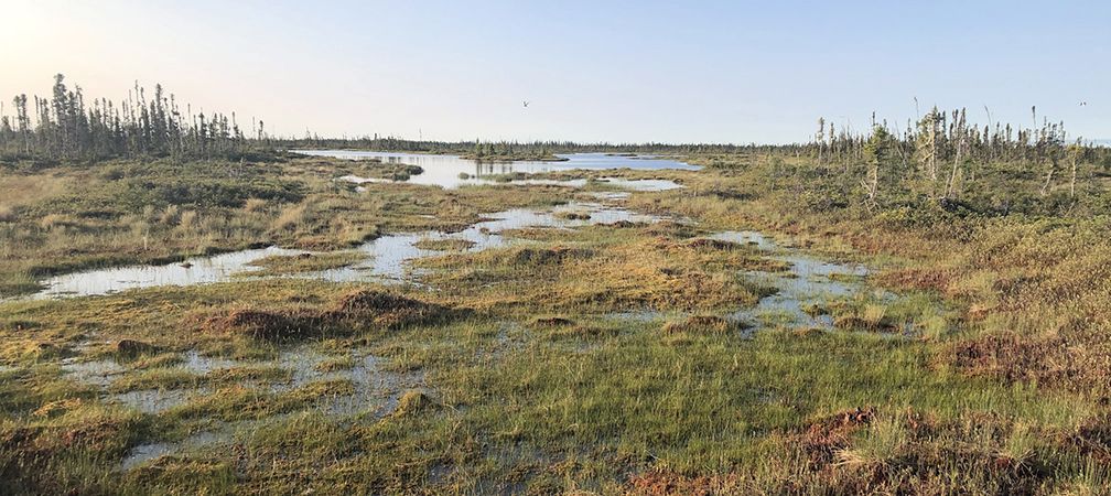
While this region has a lower coverage goal, we are still in need of atlassers. If you’re planning on visiting the north and want to do some atlassing, contact the Regional Coordinator to see how you can best help. If you’re an experienced canoeist, consider joining one of the Northern Trips.
If you want to become an atlasser, please register with NatureCounts. Once you’re registered, check out our Quick Start Guide or reach out to the Regional Coordinator for the area you’re interested in to see how you can best help.
With this guide, you should be all set to begin your atlassing journey! Together we can work to better understand Ontario’s breeding birds and contribute to their conservation for years to come.
Gananoque Lake Nature Reserve © Smera Sukumar