Ontario Nature Blog
Receive email alerts about breaking conservation
and environmental news.
© Lora Denis
World Water Day offers us a chance to reflect on our connection to water and how we can best protect it. Across the Greater Golden Horseshoe (GGH), expanding urban footprints are threatening lands that filter water, control flooding and recharge aquifers. By guiding development in existing urban centres and protecting natural features, we can protect the source of drinking water for millions of residents.
“Grow the Greenbelt to protect vulnerable water supplies” has become a rallying cry for the more than 35,000 Ontarians who wrote to the provincial government demanding greater protection for their water.
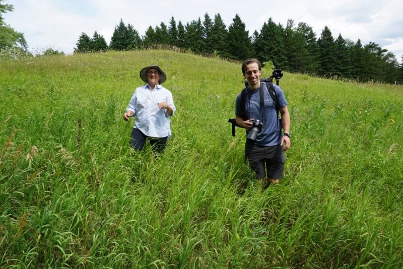
Last summer during a walk along Toronto’s Humber River, Joyce Chau from EcoSpark, Debbe Crandall from Save the Oak Ridges Moraine Coalition and I spotted a deer wading through the water. It was a surprising sight so close to one of Toronto’s major thoroughfares, and reminded us that waterways are vital for the wildlife that shares this region. As Debbe jokingly explained, the river’s water—and possibly the deer—started on her family’s farm, approximately 50 kilometres away.
For more than 10,000 years, the Humber River has linked communities along the Carrying Place Trail, a First Nations footpath that connects Lake Ontario to Lake Simcoe. The river demonstrates the important connection between the headwater features that begin at Debbe’s farm in rural Caledon to where we stood just steps from the river and a hundred meters from a subway station. Following the deer’s path and the flow of the water helps me visualize the relationship between upstream and downstream communities.
In the 1990’s, community groups across the Oak Ridges Moraine mobilized to protect their water resources. Urban development was changing the land, threatening to destroy the moraine’s natural ability to filter water. In 2002, the Oak Ridges Moraine Conservation Plan was created, outlining rules to govern land use that would ensure protection for the region’s water. In 2005, the Greenbelt was protected, linking the Oak Ridges Moraine with the Niagara Escarpment and adding important agricultural and natural lands. The Niagara Escarpment, Oak Ridges Moraine and Greenbelt Plans are protecting water, nature and communities by protecting the land from urban development.
In subsequent years, new threats have emerged. Urban development pressures have leaped over the Greenbelt, threatening water resources in Simcoe and Brant County.
Simcoe’s Minesing Wetland and the Grand River watershed moraines are now in the crosshairs as speculators and developers plan sprawling urban communities on these lands.
It’s time to halt these threats. The provincial government is currently considering expanding the Greenbelt into areas that protect water. Greenbelt expansion would direct development away from these valuable and sensitive areas.
Across the GGH, decisions about urban growth will have major impacts on our water. World Water Day offers us a chance to think about the urban planning we’re doing now to protect clean water supplies for our future.

Hi Ontario Nature Team,
My name is Anuj Agarwal. I’m Founder of Feedspot.
I would like to personally congratulate you as your Ontario Nature Blog has been selected by our panelist as one of the Top 100 Nature Blogs on the web.
http://blog.feedspot.com/nature_blogs/
I personally give you a high-five and want to thank you for your contribution to this world. This is the most comprehensive list of Top 100 Nature Blogs on the internet and I’m honored to have you as part of this!
Also, you have the honor of displaying the badge on your blog.
Best,
Anuj