Ontario Nature Blog
Receive email alerts about breaking conservation
and environmental news.
© Lora Denis
"Caledon Hikes: Loops & Lattes" author, Nicola Ross
My partner Alex isn’t much into birthdays. So two years ago, it came as a big surprise when, with a wry grin, he dropped the biggest birthday gift ever on my proverbial lap. It wasn’t jewelry or a car or a luxury vacation. Instead, what Alex gave me was part promise and part challenge.
He offered to cover my living expenses (within limits!) for the next two years so that I could focus on what I really wanted to do – write a book about Caledon hiking trails. Two years later, almost to the day, 3000 copies of Caledon Hikes: Loops & Lattes, my fifth book, landed on my doorstep.
Caledon Hikes: Loops & Lattes describes 37 loop hikes in the rolling Caledon Hills, about an hour’s drive northwest of Toronto. It offers days of outdoor enjoyment virtually for free. The hikes range in length from 2 to 25 kilometres, and take from less than an hour to pretty much the entire day to complete. Each loop starts and finishes in the same location so there is no need to drop off a car, or walk in and out along the same trail.

Caledon Hikes tells you how difficult the hike is, how long it is and how much time you should allow for the trip. It also estimates the number of steps you will take, how many calories you will burn and – of equal importance in my hiking mind – where you can stop off for a creamy ice cream, a thick cafe latte, some snacks or a hearty lunch. Included in the precise directions and noted on the maps that accompany each hike are tidbits of local cultural and natural lore: What is the Devil’s Pulpit? Did you know that squirrels eat chipmunks? Can you see what’s left of the McLaren Castle?
Because Caledon sits at the confluence of the Niagara Escarpment and the Oak Ridges Moraine, the hiking experience is a diverse one. There are steep climbs up the escarpment’s cliff face and easy strolls across open expanses of the moraine’s hummocky terrain. Hikers will encounter farm fields, split rail fences, magnificent hardwood forests, rail trails, quiet country roads and quaint villages that offer rest and refueling.
Caledon Hikes is a fantastic resource for inexperienced hikers or for anyone who doesn’t know the Caledon area well since it provides clear directions, has great colour photos and maps that are full of information. Mira Budd, a resident of Caledon East, is using Caledon Hikes to lead her group of ladies on weekly hikes. Mira says, “This is the most fantastic book. We’re all buying it so we can get out there and hike.”
The book is on sale at over 35 locations including three MEC stores and Ben McNally Books in Toronto. It is also available on my website.
I’m off Alex’s payroll now and on to my own, but the love story continues.

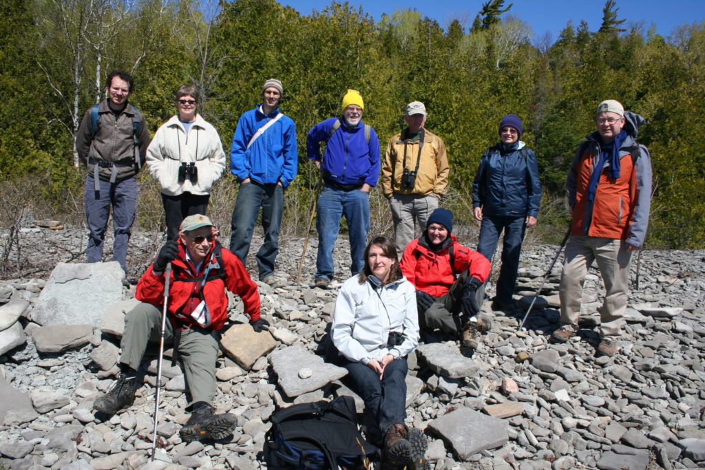
Gananoque Lake Nature Reserve © Smera Sukumar
What does GPS trail marker 1 mean. Is it an app?
Bought your great book. Looking forward to Albion hills red loop
Hi Nicola, I would like to visit the site of the Grange Mclaren Castke but I’m having trouble finding directions. My grandfather lived there when he was young and I’m interested in seeing wher he spent his childhood. It seems you might have the answer I’ve been looking for. Cheers!
Hi Nicola, what an amazing story behind the book. I will have to buy a copy as I love the Caledon area and the Bruce Trail.
All my best on your future endeavours.
Thanks Nigel. Have you done any hikes yet? Love to hear about your hiking adventures in Caledon.