Ontario Nature Blog
Receive email alerts about breaking conservation
and environmental news.
© Lora Denis
August 11, 2022–Zachary Pothier
Conservation News•Conservation Authorities•Greenbelt and Greenway•Protected Places
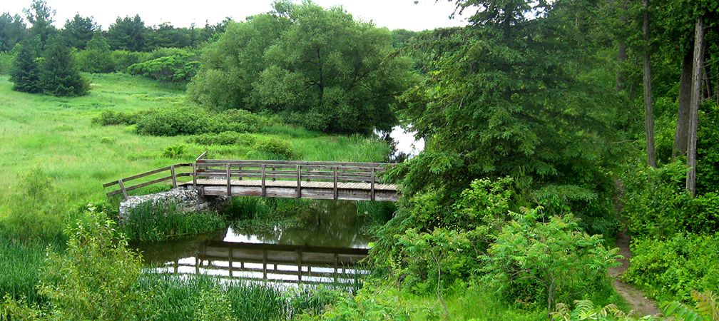
Laurel Creek Conservation Area © Carl Hiebert / Grand River Conservation Authority
In southern Ontario, municipalities and Conservation Authorities (CAs) play an essential role in conserving natural areas and greenspace, vital in conserving biodiversity and enhancing climate change resilience. Largely unrecognized, however, is how their efforts are contributing to Canada’s ambitious Target 1 plan to protect 25 per cent of our lands and waters by 2025, and 30 per cent by 2030.
With generous support from the Greenbelt Foundation, Ontario Nature is partnering with Conservation Ontario to achieve Canada’s Target 1 goals. By reaching out to municipalities and CAs across the Greater Golden Horseshoe (GGH), the organizations aim to advance assessments of environmentally significant lands to determine whether they meet Canada’s standard for protected and conserved areas. If they do, these lands will count towards the federal target, adding to those areas already evaluated.

“We see great merit in this work, both in terms of recognizing the importance of these lands for conserving biodiversity and providing tangible examples of policies and best practices for other municipalities and conservation authorities,” says Rick Wilson, Data and Analytics Manager at Conservation Ontario.
Last year, Ontario Nature worked with five municipalities and two CAs to assess a selection of the lands they own or manage. They determined that 2,132 hectares met the national protected areas standard. These lands come in all forms and sizes, from large urban parks to rare ecosystems thriving on the Oak Ridges Moraine.

To qualify, conservation lands must demonstrate the following:
The protected and conserved area assessments align well with the Greenbelt Foundation’s vision and goals of enhancing regional resilience by raising community awareness of Canada’s commitments and confirming the vital importance of protecting near-urban nature where opportunities to establish new large protected areas are limited. Designation will validate their contribution to the Greenbelt’s critical core and connectivity corridor and to the near-urban nature network championed by the Southern Ontario Nature Coalition.

Where conservation lands are determined to meet the national standard, they provide a model for enhancing policies and management practices for other municipalities and CAs. Yet, even where sites do not meet the standard, the assessment process will identify gaps to be addressed and identify paths forward.
“These assessments set the stage for on-the-ground gains in conservation,” says Jenna Kip, Protected Places Assistant at Ontario Nature. “We’re interested not only in celebrating the achievements that have been made, but also in improving policy and practice by better understanding the barriers and opportunities.”
Municipalities and CAs participating in this project stand to benefit in many ways:
“We look forward to participating in this assessment,” says Kevin Kennedy, Land Securement Officer at the Lake Simcoe Region Conservation Authority. “Including our extensive natural heritage lands in these ambitious targets offers us an opportunity to contribute in a meaningful way. It also provides an opportunity to celebrate our achievements and learn where more can be done to conserve biodiversity and enhance climate resilience.”

For more information about the project, please contact Jenna Kip at jennak@ontarionature.org.

Gananoque Lake Nature Reserve © Smera Sukumar
Nice photo of Laurel Creek Conservation Area. I think it’s backwards.