Ontario Nature Blog
Receive email alerts about breaking conservation
and environmental news.
© Lora Denis
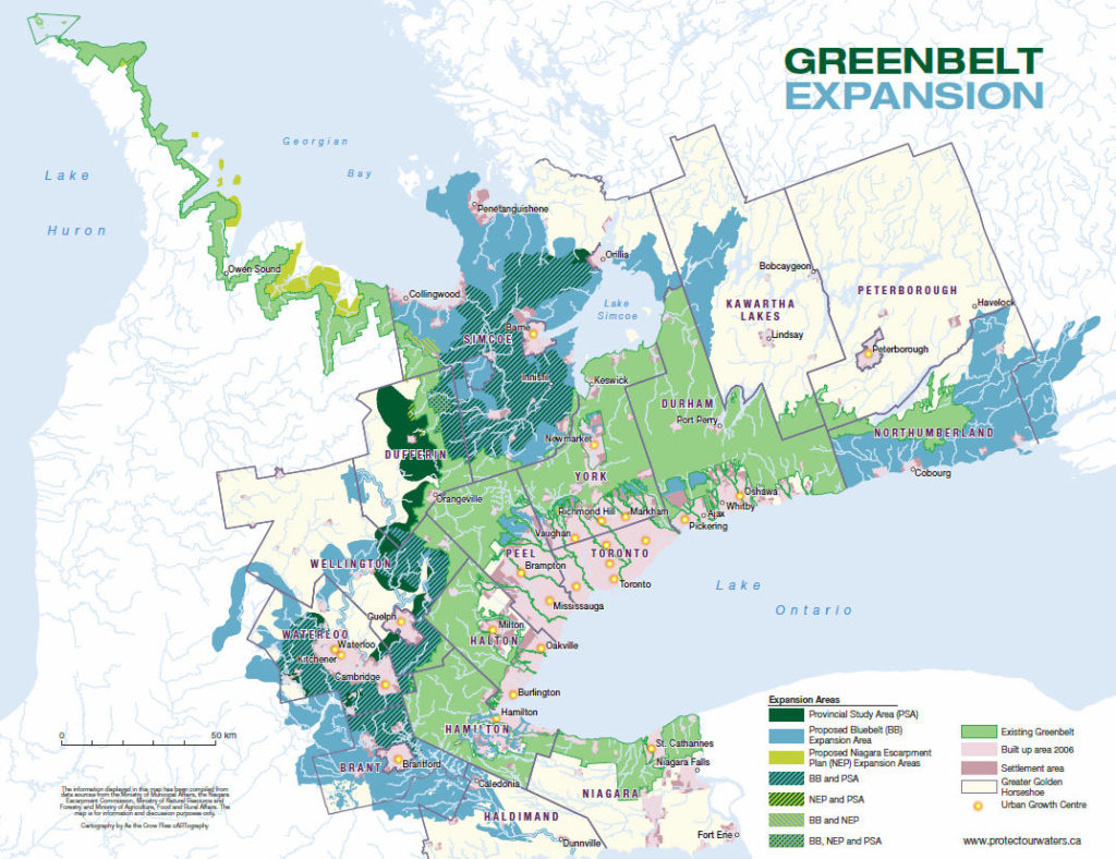
Greenbelt map with proposed expansion areas
Hearts of the conservation-minded rose when the provincial government unveiled its recent study of Greenbelt expansion. Communities are now rallying to support growing the Greenbelt to take in water-protecting landforms such as the Oro and Orangeville moraines. But there are big let-downs in the east.

East of the GTA, south of the protected Oak Ridges Moraine, the government’s proposed Greenbelt boundary still dead-ends at the Clarington-Port Hope Townline. It’s as if a great wall is preventing visionary planning from spreading across the border despite the fact that the connected lands to the east are vital to regional water supplies, host important natural heritage and are threatened by the march of urban sprawl.
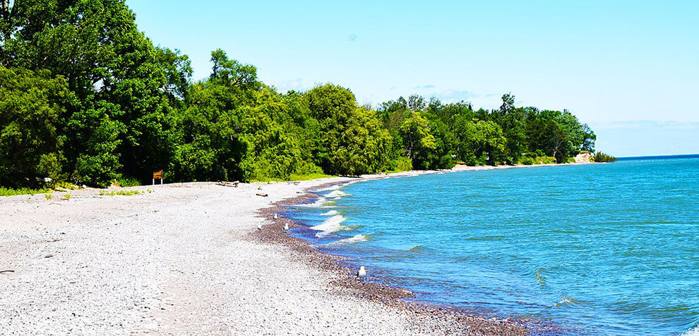
This landscape is part of the Lake Iroquois Plain – the former lake bed of a larger, deeper Lake Ontario. You know it as the fairly level band of land ringing the lake, bordered by the ridge of the prehistoric Lake Iroquois shoreline. This prominent landform is still visible in many places around Lake Ontario including the famous Casa Loma in Toronto. Lake Iroquois’ ancient beaches now lie below Highway 403 at Burlington, the QEW at Mississauga, Davenport Road in Toronto and Highway 401 near Cobourg. The shoreline parallels the Niagara Escarpment south of the lake, where you can follow it along the winding, and aptly named, Ridge Road.

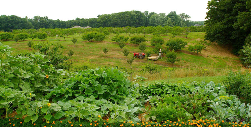
The land encircled by this ancient shoreline was originally highly prized by Indigenous communities, and later by European settlers, for agriculture and settlement. It is now one of the most densely populated regions of the country. Queen’s Park and Bay Street are embedded in this landform. The existing Greenbelt protects swaths of agricultural land within the Iroquois plain, notably the Niagara Fruitlands as well as natural heritage and other features in Durham Region. Although there are small isolated conservation areas such as Jordan Harbour Conservation Area, Oakville’s Iroquois Shoreline Woods Park, and Darlington Provincial Park, many opportunities for connected landscape conservation in the Iroquois Plain are long-gone.
The Greenbelt boundary should not stop dead at the south end of Durham Region.
There are many reasons why the “outer ring” of the Greenbelt should expand into Northumberland County and beyond.


The Bluebelt proposal – spearheaded by the Oak Ridges Moraine Partnership working with the Greenbelt Foundation and supported by more than 100 organizations and thousands of Ontarians – calls for Greenbelt expansion into the Iroquois Plain in Northumberland County and beyond. Yet the Government’s study area does not include the east. Over 13 years, the Greenbelt has achieved great success in protecting farmland, water and nature, and preventing inefficient and damaging sprawl. Surely this is as warranted in the east as it is in the west.

Gananoque Lake Nature Reserve © Smera Sukumar
A couple years ago you had a map that showed the eastern edge of the green belt at Inglis Rd. Our cabin is 100 yards inside the green block on the northern edge of what was shown as a cutout around the bridge where “our” creek crosses Inglis Rd.
Your latest map stops, as you have complained to Queens spark bureaucrats, at the Easter edge of port hope, leaving us out in the blank never-never land beyond the pale.